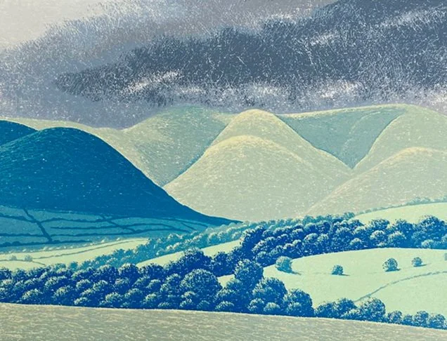
the North
6.1 Lindisfarne (1986), 220x300 [GBP275]
6.2 Howgill Fells from Garsdale (1986), 210x303 [GBP275]
6.3 Rawthey valley (1990), 220x303 [GBP300]
6.4 Great Shunner Fell from the Hawes-Muker road (2006), 225x300 [GBP300]
6.5 Buttertubs, toward Thwaite (2007), 305x320 [GBP300]
6.6 Arkengarthdale from Birk Dale (2007), 213x299 [GBP300]
6.7 Great Shunner Fell, looking west (2007), 220x305 [GBP300]
6.8 the Knott from the Snake Path (2007), 225x295 [GBP300]
6.9 Staffordshire Moorlands from Roach End (2009), 300x400 [GBP350]
6.10 Mount Famine from Hayfield (2011), 363x320 [GBP450]
6.11 Parkhouse Hill from Hollinsclough (2014), 255x400 [GBP375]
6.12 hanging cloud over Chelmorton Low (2015), 240x320 [GBP400]
6.13 heather in bloom, The Knott (2019), 240x240 [GBP325]
6.14 spring weather on the Howgills, from Tom Croft Hill, (2021), 240x319 [GBP450]
6.15 Croome Wold, spring (2021), 240x319 [GBP300]
6.16 to Towthorpe from Fimber, spring (2021), 319x319 [GBP325]
6.17 spring field near Kilburn (2022), 199x199 [GBP375]
6.18 Pendle Hill from Sawley (2022), 239x320 [GBP400]
6.19 Lantern Pike from the Snake Path (2023), 180x360 [GBP325]
6.20 field near Hallington, above Louth (2023), 300x399 [GBP425]
6.21 to Welton le Wold from North Farm (2024), 320x319 [GBP425]
6.22 Dragon’s Back, Hayfield (2024), 240x320 [GBP375]


